UAV Projects
Magnetometer System

Magnetometer System

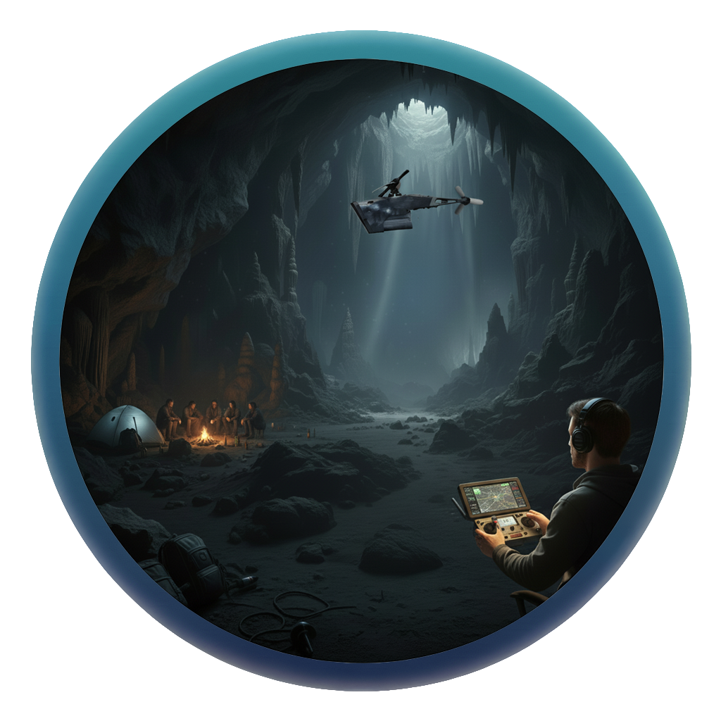
The BMS Magnetometer System addresses the challenge of detecting hidden underground threats and structures that cannot be reliably identified through visual or surface-level sensing, particularly in military and security operations. The system uses magnetometer-based sensing to detect and map subsurface anomalies at significant depths, enabling early identification of buried mines and concealed infrastructure without intrusive excavation. It provides critical underground situational awareness in environments where traditional detection methods are slow, risky, or ineffective. Detection depth and performance depend on target characteristics and soil conditions.
Bee Reconnaissance Drone

Bee Reconnaissance Drone

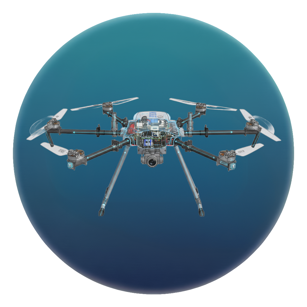
The Bee Reconnaissance Drone is a compact intelligence-gathering UAV designed for military and law enforcement operations requiring discreet aerial surveillance. With an ultra-low acoustic signature and a miniaturized sensor payload, it enables covert forward observation and target monitoring in urban and contested environments. The platform supports day and night operations through integrated optical and thermal imaging, providing situational awareness where larger UAVs are impractical or easily detectable. Payload capabilities and mission endurance are optimized for short-range, high-discretion reconnaissance tasks.

Key Roles

  • Forward Observation: Covert aerial surveillance and forward observation in urban and contested environments, enabling real-time situational awareness with minimal acoustic and visual detectability.
  • Day/Night Optical and Thermal Imaging: Integrated optical and thermal sensors provide reliable day and night reconnaissance capabilities, supporting continuous intelligence gathering in low-visibility conditions.
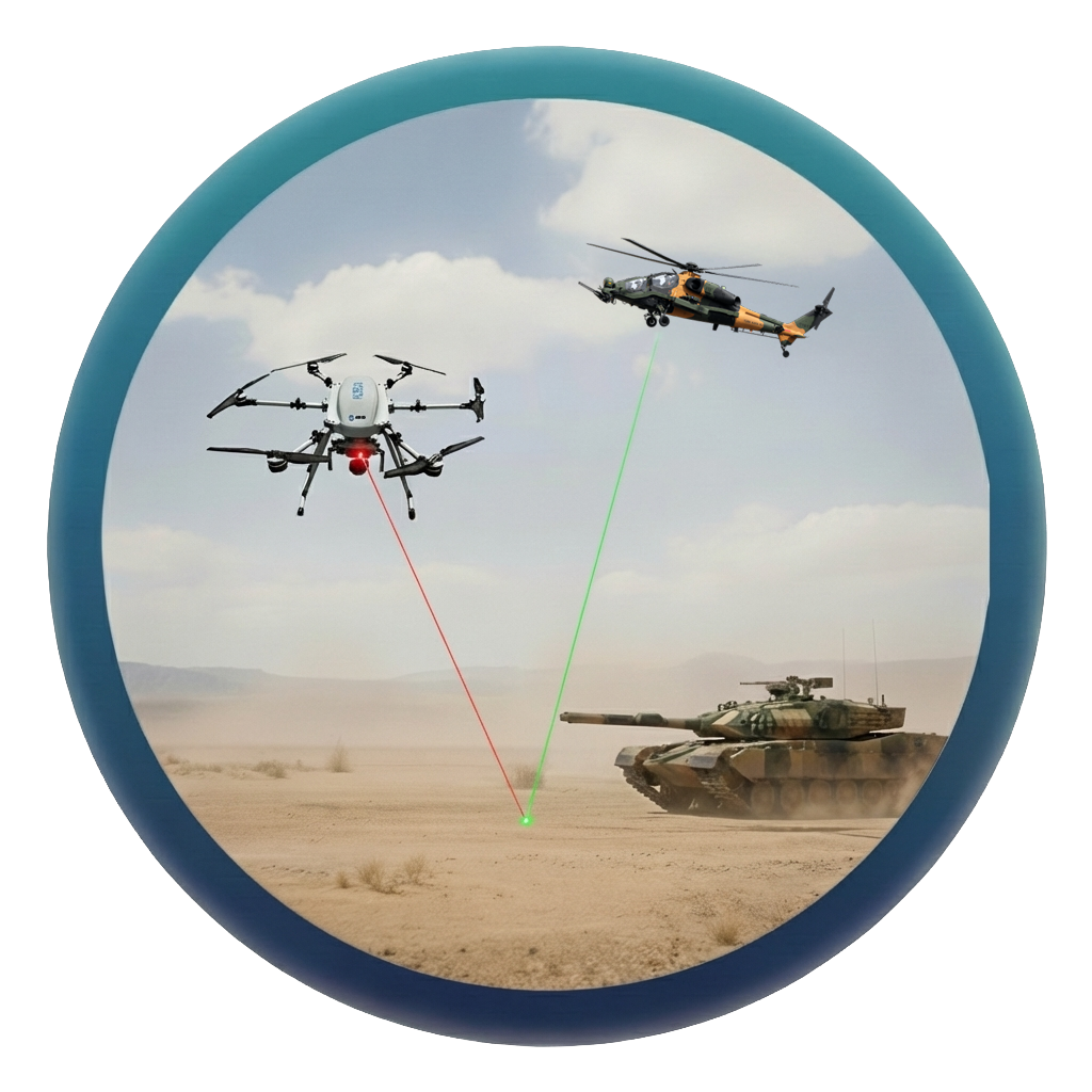
  • Precision Laser Designation: Supports precision laser designation for target marking in coordinated operations, subject to payload configuration and mission constraints.
  • Search & Rescue Assistance: Assists search and rescue operations by providing rapid aerial assessment and thermal-based target detection in confined or hard-to-access areas.
KUZGUN X6 Multi-Use Laser System

KUZGUN X6 Multi-Use Laser System

The KUZGUN X6 is a compact multi-use laser system that integrates a high-performance daylight camera, thermal/night vision imaging, 30x optical zoom, and laser designation and range-finding capabilities into a single stabilized payload. Designed for reconnaissance, surveillance, and precision targeting missions, the system supports laser designation at distances of up to 2.5 km and laser range finding up to 5 km, depending on operational conditions. Its advanced optical and thermal sensors provide reliable imaging performance in low-light and challenging environments, while multi-target detection capabilities enhance situational awareness during complex operations.

Visual GNSS-Free Navigation

Visual GNSS-Free Navigation

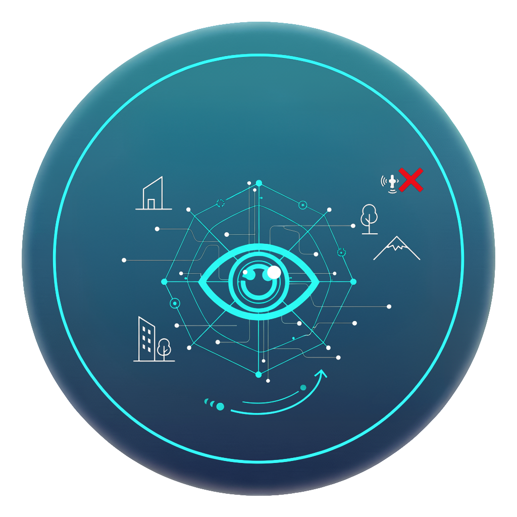
The BMS Visual GNSS-Free Navigation system enables autonomous flight in GPS-denied or GNSS-interfered environments by relying on vision-based localization techniques. By continuously analyzing the surrounding scene and visual motion cues, the UAV maintains stable navigation and relative positioning during critical phases of the mission. The system is designed for operations where GNSS availability is unreliable or intentionally disrupted, supporting autonomous and high-risk missions with reduced dependence on external navigation signals. Performance depends on environmental features, lighting conditions, and platform dynamics.

Precision & Area Strike Suite

Precision & Area Strike Suite

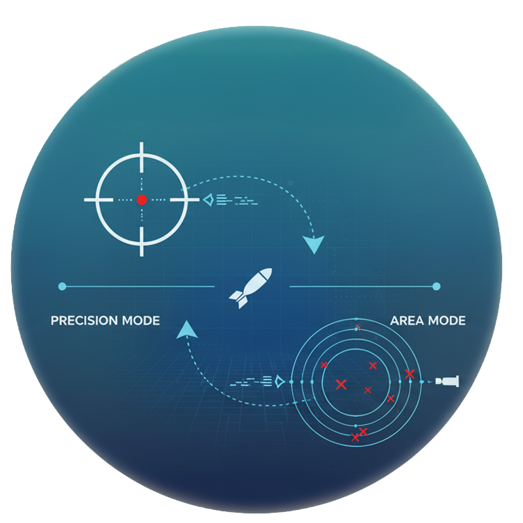
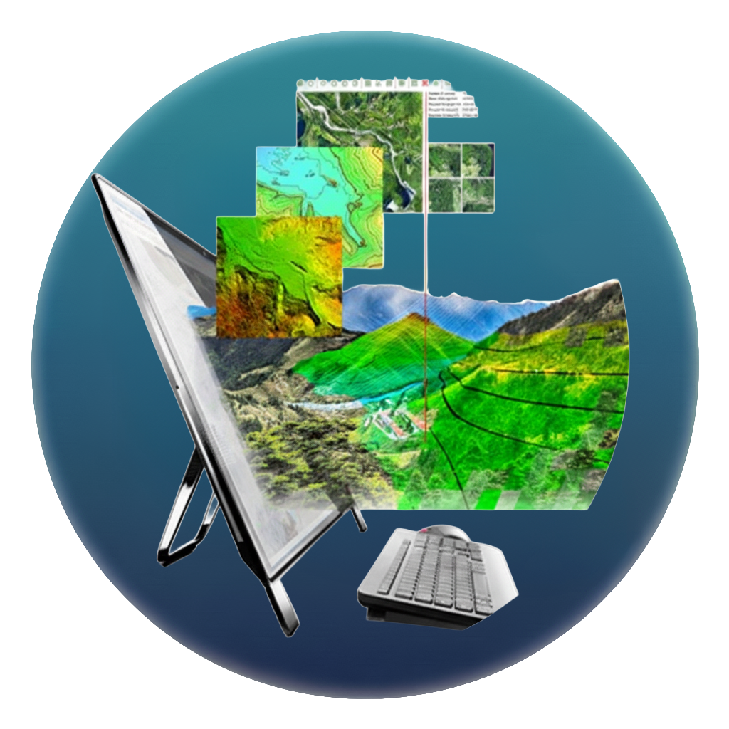
The Precision & Area Strike Suite is a mission management software designed to support high-accuracy point and area strike operations. The suite covers the full strike workflow, from mission planning and route definition to execution monitoring, enabling operators to configure attack parameters based on mission objectives and operational constraints. It supports coordinated strike scenarios that require precise timing, controlled engagement zones, and efficient use of available platforms. The system is intended for operations where precision, responsiveness, and controlled coordination are critical to mission success.

Loitering & Kamikaze Software

Loitering & Kamikaze Software

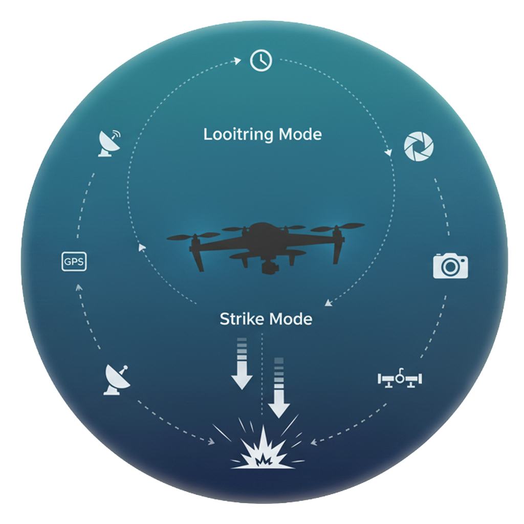
The Loitering & Kamikaze Software is a mission control and guidance solution designed for loitering munitions and one-way attack UAVs. It manages mission execution from target acquisition to terminal engagement, supporting controlled guidance and tracking throughout the attack phase. The system is built to operate in dynamic and contested environments, enabling precise target engagement while maintaining operator-defined constraints and mission logic. Designed for real-world operational conditions, the software prioritizes reliability, controllability, and predictable behavior during critical mission phases.

Vision-Aided INS

Vision-Aided INS

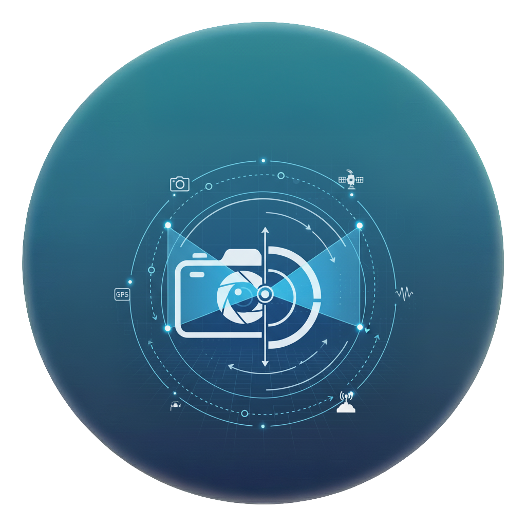
The Vision-Aided INS combines inertial sensor data with visual motion information to improve navigation stability and reduce drift compared to standalone inertial systems. By fusing visual cues with IMU measurements, the system maintains more consistent positioning performance in environments where external navigation aids are degraded or unavailable. It is designed as a flexible navigation core for advanced aerial platforms and testing scenarios that require improved inertial accuracy under challenging operational conditions.

Custom UAV FCS Software

Custom UAV FCS Software

The Custom UAV FCS Software is a configurable flight control solution designed to support mission-specific UAV operations across different platforms. It provides structured control over flight modes, mission logic, and payload integration, enabling operators to adapt system behavior to defined operational requirements. The software supports real-time control and monitoring through a focused operator interface, prioritizing predictability, safety constraints, and mission reliability. Its modular architecture allows customization and integration with various UAV configurations without compromising control consistency.

Long-Range Communication with Mesh RVT Network

Long-Range Communication with Mesh RVT Network

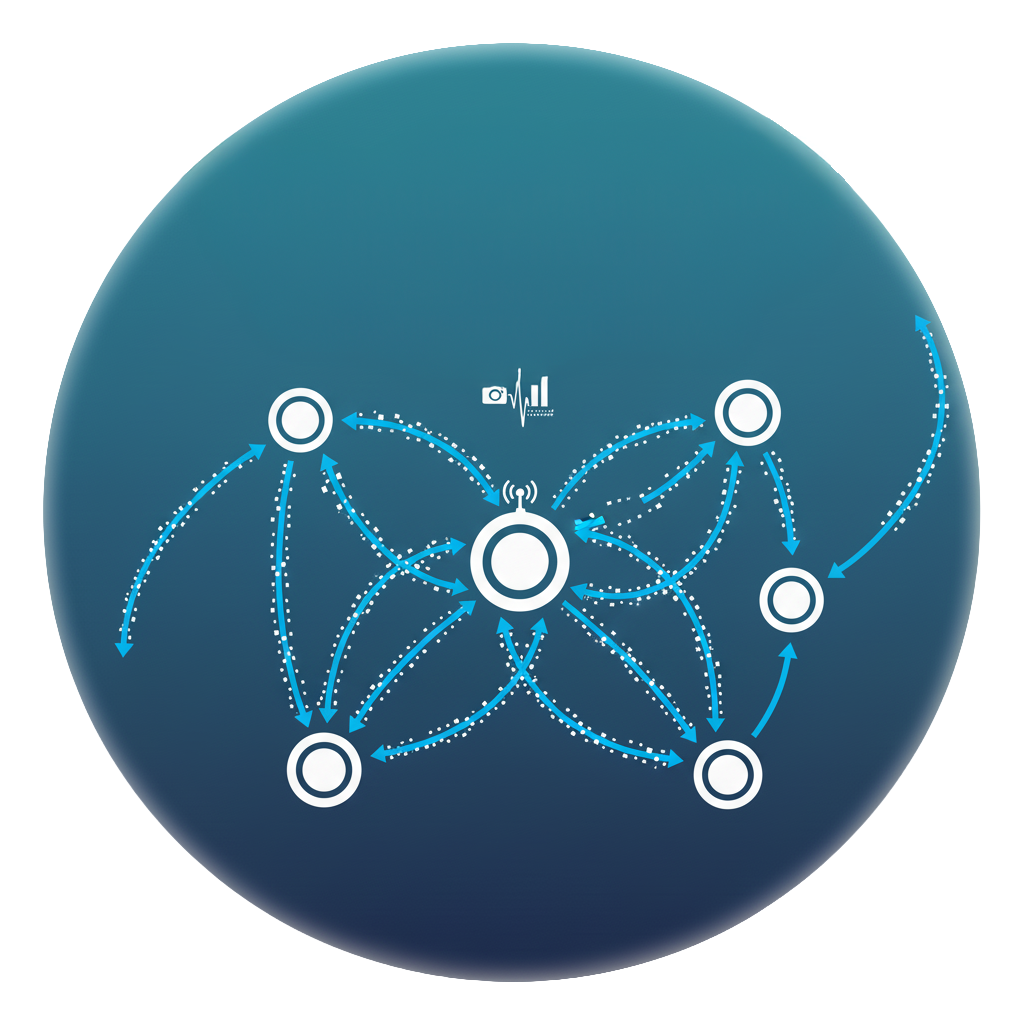
The mesh-based RVT communication network enables extended-range UAV operations beyond direct line-of-sight by dynamically linking multiple mobile relay nodes into a coordinated mesh topology. The system supports scalable communication coverage by relaying data across interconnected RVT units, allowing operators to maintain command, control, and video links over extended distances. Depending on network configuration and terrain conditions, the total communication range can be expanded to tens of kilometers, with demonstrated reach up to approximately 70 km.

Dual-UAV Line-of-Sight Relay Operation

Dual-UAV Line-of-Sight Relay Operation

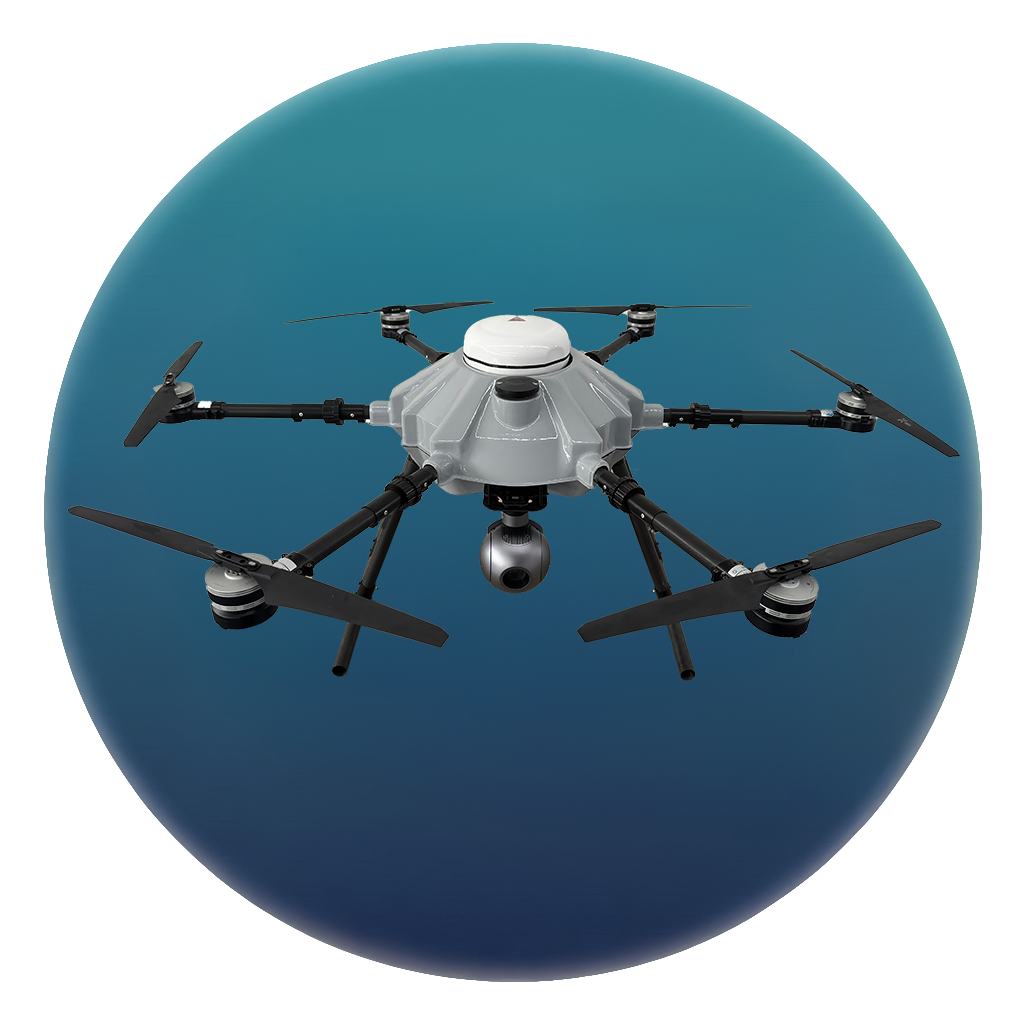
This solution enables a single ground control station to simultaneously operate two UAVs while maintaining situational awareness through dual, synchronized video feeds. It supports coordinated mission scenarios where one UAV can provide overwatch, relay, or extended visibility for the second platform. By allowing operators to monitor and manage both assets in parallel, the system enhances operational awareness and control in complex or extended-range missions.

Tethered Drone System

Tethered Drone System

This tethered UAV system is designed to provide persistent aerial surveillance by maintaining stable hover for extended durations without reliance on GNSS signals. By combining tether-based power delivery with intelligent stabilization and control algorithms, the platform enables continuous observation over long mission periods, including day-long operations under suitable environmental conditions. The system is intended for fixed-area monitoring tasks where endurance, positional stability, and uninterrupted data transmission are critical. Operational performance depends on environmental factors and deployment configuration.

SMARTBOX

SMARTBOX

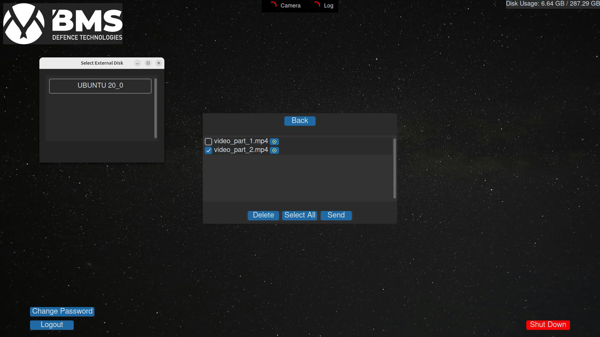
SmartBox is a secure mission data capture and storage system designed to ensure reliable information retention before, during, and after UAV operations. The system collects video feeds from onboard and ground control station cameras, records mission-related audio from the control environment, and automatically stores UAV log files immediately after landing. All collected data is securely stored using encrypted storage mechanisms, supporting post-mission analysis, accountability, and operational review in sensitive environments.

Real-Time Classification & Tracking

AI-based perception models, trained on domain-specific datasets, are integrated into UAV camera systems to enable mission-tailored target detection and classification. The system allows operators to define and prioritize relevant target types based on operational requirements, supporting real-time visual awareness during ISR and autonomous missions. Model performance and target coverage depend on training data and deployment configuration.

Point-to-Point Communication

Point-to-Point Communication

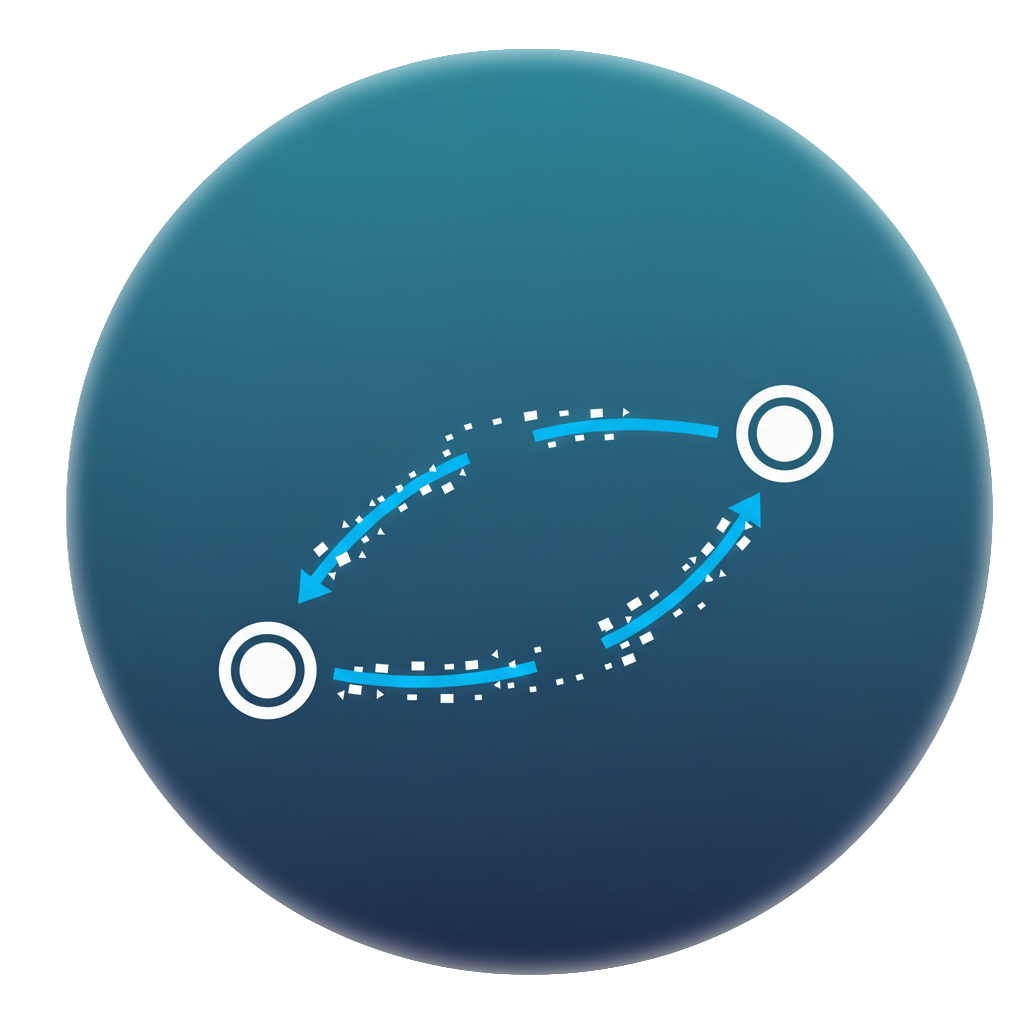
The Point-to-Point communication solution enables a dedicated data link between a single ground control station and one UAV, supporting long-range transmission of Full HD video and continuous telemetry data. The system is designed to maintain a stable and reliable connection over extended distances under operational conditions. Live video feeds can be distributed to additional wired or wireless endpoints upon operator request, enabling shared situational awareness across multiple devices during mission execution.

Point-to-Multipoint Communication

Point-to-Multipoint Communication

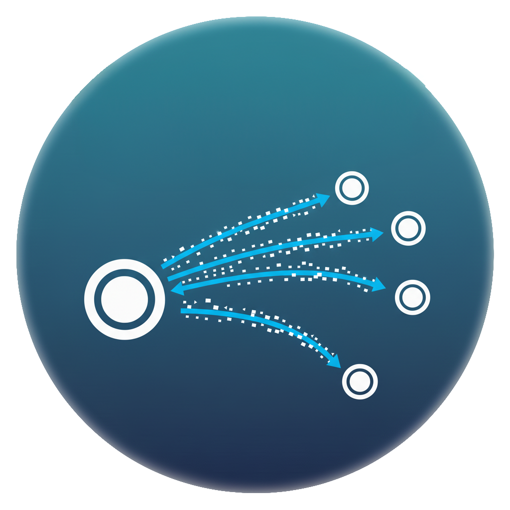
The Point-to-Multipoint communication solution enables scalable data links between multiple UAVs and one or more ground control stations, supporting coordinated operations over extended ranges. The system allows simultaneous transmission of Full HD video streams and continuous telemetry data across multiple platforms, facilitating centralized or distributed mission control. Live video feeds can be shared with additional wired or wireless endpoints as required, enabling collaborative situational awareness during multi-asset operations.